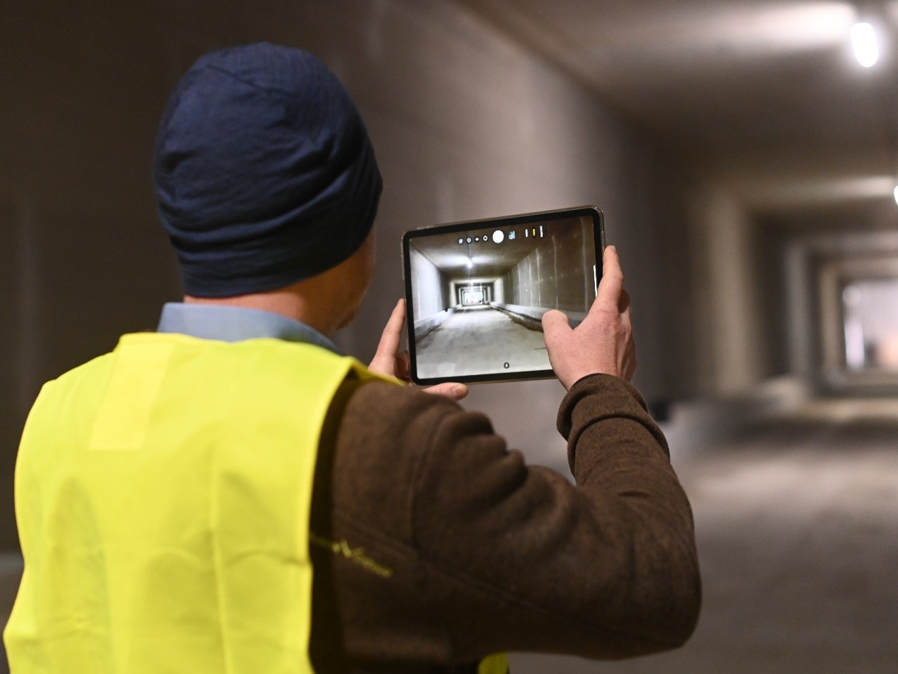
A user interface that clearly displays a construction site in all its facets? Fast documentation, comprehensible reports and clean formatting? Sounds like eguana SCALES – but it’s not. The software of recordIT is the visual counterpart to our data management tool and enables a construction site to be displayed in visual form. The range is now to be expanded to include a tool that can be used to record and display buildings in three dimensions.
We spoke to founder Stefan Grubinger about his virtual baby, the hurdles of a start-up and innovation-resistant civil engineers.
*****
Since 2018 the state of Salzburg has had around 5,000 supporting structures near state roads surveyed. The project duration is five to eight years, the survey is carried out by external engineering offices – a long duration and many different project participants working with different systems and structures, and consequently also a lot of potential for discrepancies and errors. What sounds difficult is made easy by the software of record IT. The documentation is based on precisely defined templates and all buildings are recorded in a standardized way.
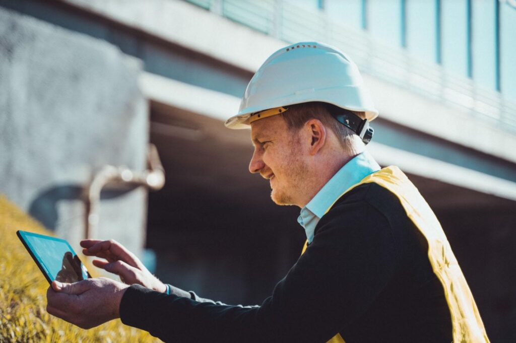
The survey from the state of Salzburg is just one of many applications for the digital tool. For the new construction project “S7 Fürstenfelder Schnellstraße” the app enables ongoing documentation of the construction progress as well as the recording and management of defects. The photos taken are recorded both on a digital plan and in the Geographical information system assigned to the recording location and are therefore easy to find.
Everything in view, right from the start
The idea for the tool arose – as it is so often the case – out of necessity. When writing and formatting reports, the shoe often pinched. “In the course of construction sites and the reports to be created, I was looking for a solution that would enable me to create user-adapted reports directly on the tablet. Since I hadn’t really found anything that appealed, the idea of developing something myself or having it developed soon came up.”
The founding team also includes civil engineer Matthias Rebhan from Graz University of Technology (LINK to blog post); web developer Simon Jiménez; and Roman Marte, university professor and head of the Institute for Soil Mechanics, Foundation Engineering and Computational Geotechnics at Graz University of Technology. The team has now grown to ten employees. “Computers should do what computers are good at, and people should do what people are good at,” Grubinger summarizes the idea behind it. “Furthermore, when writing reports, the frustration factor should be pushed into the background and the content should be given more time and attention.”
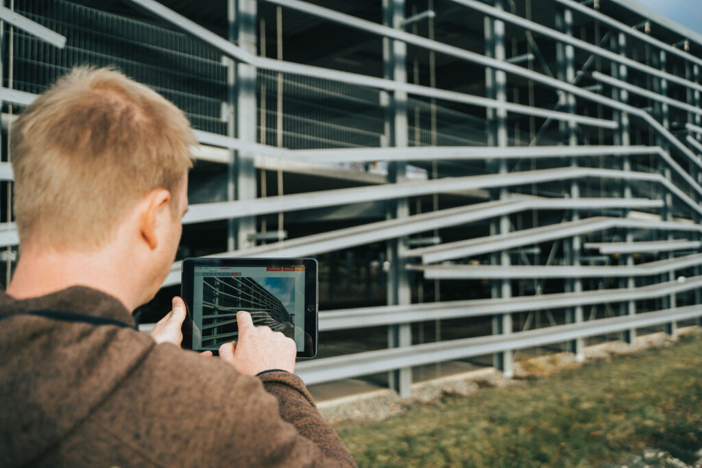
Photos, maps and information can be easily created on site and individually adapted to the respective situation. This can be entire texts or individual keywords, or predefined queries. The maps allow screenshots to be taken directly from the software, and different layers such as conduits, roads or rails can also be imported. Reports on this can also be adapted to the relevant requirements and automatically generated and evaluated. These evaluations and investigations are currently still being carried out by human users, but work is already being done on artificial intelligence to automate these activities.
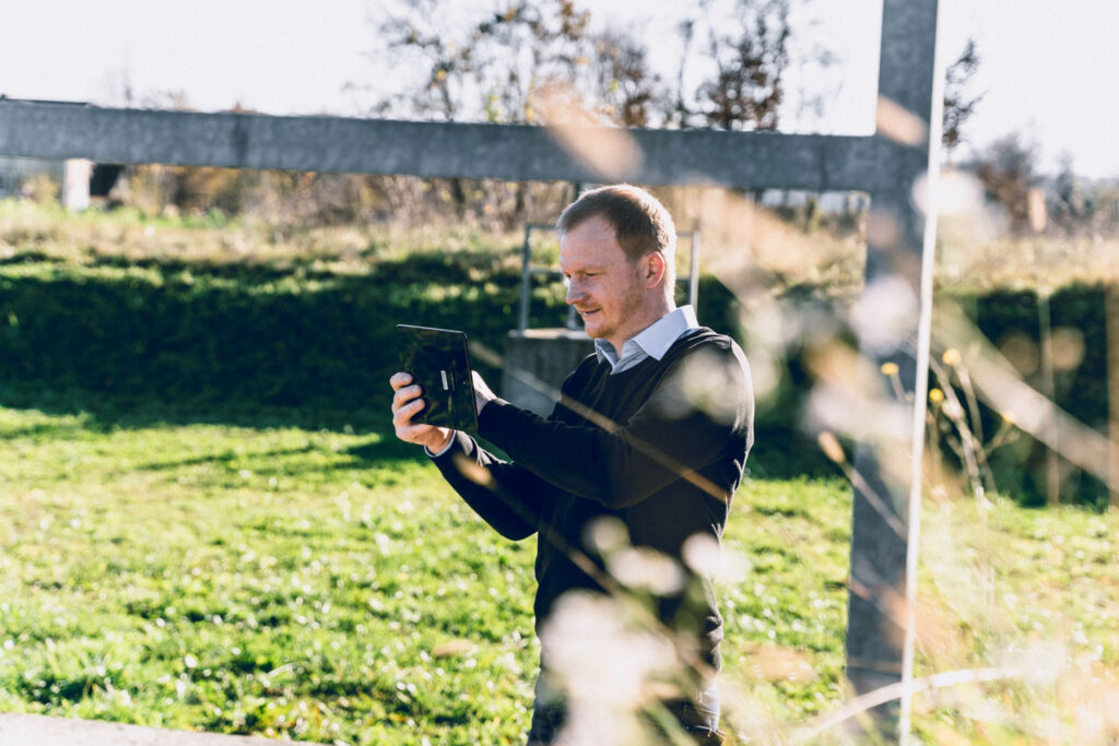
The name recordIT is ambiguous in an unambiguois way and appropriate in every respect – photos, sketches, map sections, etc. can simply be taken on a tablet or mobile phone and the information can then be called up in the form required.

recordIT, founded in 2017, is now used in various areas, from security checks of buildings to the documentation of construction progress on underground routes. For example when inspecting torrents, where grievances such as fallen trees, mudflows, etc., are recorded, located and automatically processed. By locating these data in properties and linking to land register data, notifications to property owners are automatically generated and sent, and reports for communities and statistics are generated.
The software is therefore not only suitable for everyone who carries out documentation services on and around construction, but also for users in non-industry areas.
Inspect 3D – a three dimensional construction site
The survey can be conducted during the entire service life of the structure, starting with the inventory through the actual construction phase to the control and testing during the operational phase. According to Grubinger, a lot is currently being invested in this area in particular.
For this reason, the company is now taking things even further: In cooperation with the company Robotic Eyes, Grubinger’s team developed the inspection tool “Inspect 3D” – and this enables the user to display a building in all its development phases in three-dimensional form. A digital twin in 3D that displays photos, images of defects and other anchored information in augmented reality, as if you were actually there.
The tool is “precisely tailored to the requirements of tests and inspections” and allows “a 3D view of the structures in addition to the creation of reports. That way, photos and information are linked directly to the building and can be called up there again later – it is almost impossible to mix up photos and information.”
Don’t give up
However, getting started as a start-up wasn’t always easy, Grubinger recalls. “Especially in the initial phase, where a few euros would go a long way, it is very difficult to get financing. It’s a vicious circle.” In order to receive funding, you have to be able to show a product – but in order to be able to develop a product, you need financial resources.
And although the desire for better digital tools is growing louder and is also increasingly being demanded by employers, “many civil engineers are still unaware of this”, says Grubinger. Nevertheless, the demands for it are getting louder and the industry, triggered by the requirements of BIM, is slowly being shaken up and inhibitions about new technologies are increasingly being broken down.
recordIT’s innovative software is not immediately accepted everywhere. “A civil engineer once told an employee that he had no need for the software as he had the most efficient way of working anyway: He said that instead of documenting it himself, he calls his secretary and then explains everything to her and she writes it down. I actually had to grab my head in amazement.” In principle, however, not only the need but also the desire for the software is great, says Grubinger. By using the app to create reports, lists and checklists in no time at all, not only civil engineers but also all people who have to carry out regular checks and inspections of buildings of all kinds can work more effectively.
“What we have learned is that you have to continuously work on your idea and that there are always situations that set you back. But many a night shift has been useful and under such pressure one or the other very good idea is born that not only helps in this situation. Regularly rethinking the current situation and, if necessary, realigning individual points or even the company can help to make many things easier and also provide great added value for the customer!”
*****
About Stefan Grubinger
Documentation without frustration – it must be possible! Thanks to his many years of experience in the construction industry (he was born in Salzburg and worked for years as a construction engineer while studying industrial engineering at the Technical University of Graz before he set up his own business with recordIT in 2017), Stefan Grubinger knew exactly where the shoe pinched. That is why, together with a few colleagues, he set about solving the problem and simplifying the documentation of construction processes. Although the master builder now spends a lot of time in the office, he prefers to be on the construction site himself.